What are Wetland Mitigation Credits?

Environmental
question_answer0
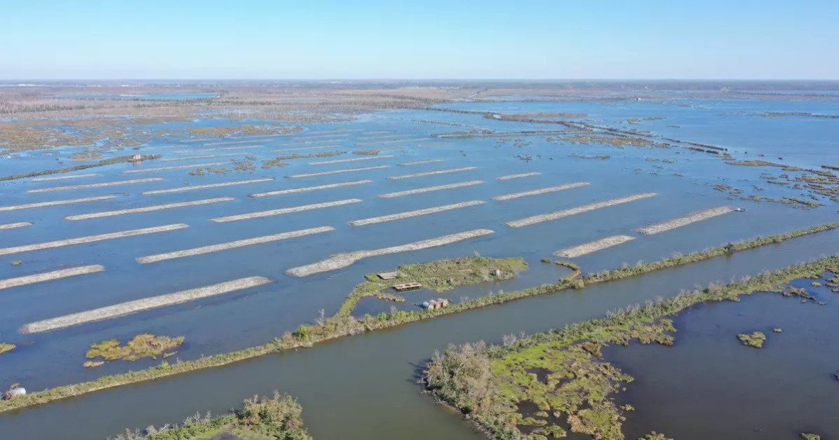
Wetland terrace building in Terrebonne Parish, Louisiana
If your project adversely impacts wetlands, the U.S. Army Corps of Engineers (USACE) will require you to compensate for the environmental destruction.  This can be done in 1 of 3 ways; 1) permittee responsible mitigation, which is the act of creating wetlands yourself, 2) pay to the State of Louisiana’s…
Read More
The Ultimate Guide to Environmental Assessments

Environmental
question_answer0
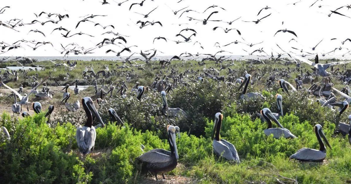
Pelicans inhabiting Queen Bess Island in Louisiana
Environmental assessments (EAs) are conducted to assess the environmental impact of a policy, program, or project during the consideration and approval stages. The term “environmental impact assessment” (EIA) is often used when describing the projects undertaken by individuals or companies. And the term “strategic environmental assessment” (SEA) is often applied…
Read More

What is Flood Mapping?

Engineering, Survey & Mapping
question_answer0
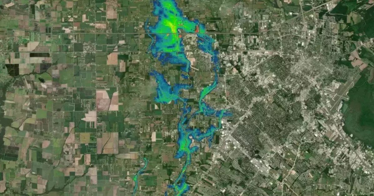
Flood map
Flooding, simply put, is an overflowing of water onto land that is normally dry. Its impacts can be severe enough to create a natural disaster that causes serious damage to property—and unfortunately in some cases—threatens lives. For communities that may be at risk to flooding and its devasting impacts, we…
Read More

How Does LiDAR Work Underwater?

LiDAR
question_answer0
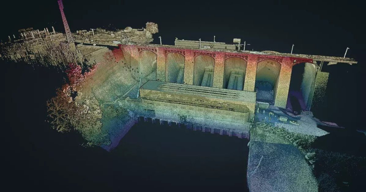
LiDAR underwater scan of a dam
LiDAR, which stands for “light detection and ranging,” is a remote sensing method that uses laser pulses to measure the distance between objects, or the distance from the LiDAR sensor itself. It does this by targeting an object or a surface with a laser and measuring the time it takes…
Read More

How Does LiDAR Mapping Work?

LiDAR
question_answer0
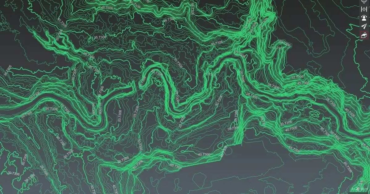
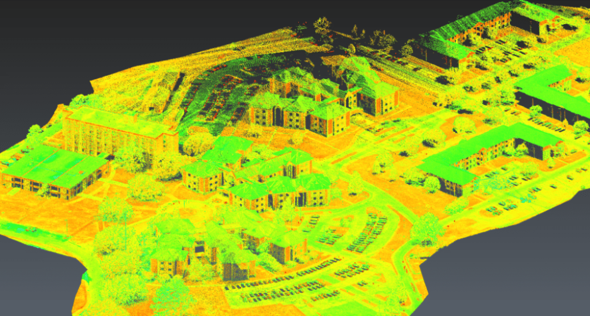
LiDAR Map
LiDAR is a form of surveying that measures distance using laser pulses. LiDAR data is used for mapping purposes in many different fields, from civil engineering to land development. LiDAR mapping technology helps you to capture information, process the data, and create detailed maps. A LiDAR system collects 3D measurements…
Read More

What Cell Phones Have LiDAR?

LiDAR, Technology
question_answer0
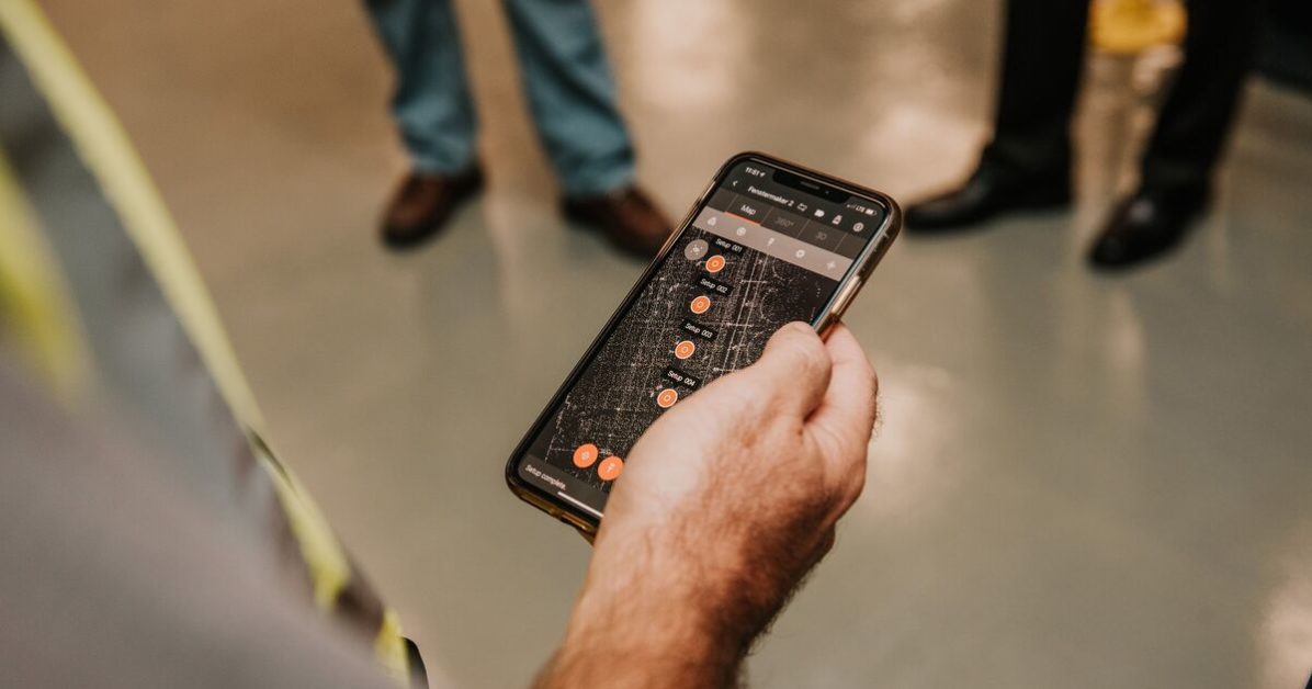
Cell phone with LiDAR
LiDAR technology has finally entered the mobile tech space, with a majority of the world not even knowing. Cell phone makers have taken note of the growing need for accurate mapping and have already started incorporating this technology into mobile devices. As a refresher, LiDAR stands for light detection and…
Read More

Best LiDAR Sensors for Drones (UAVs)

LiDAR
question_answer0
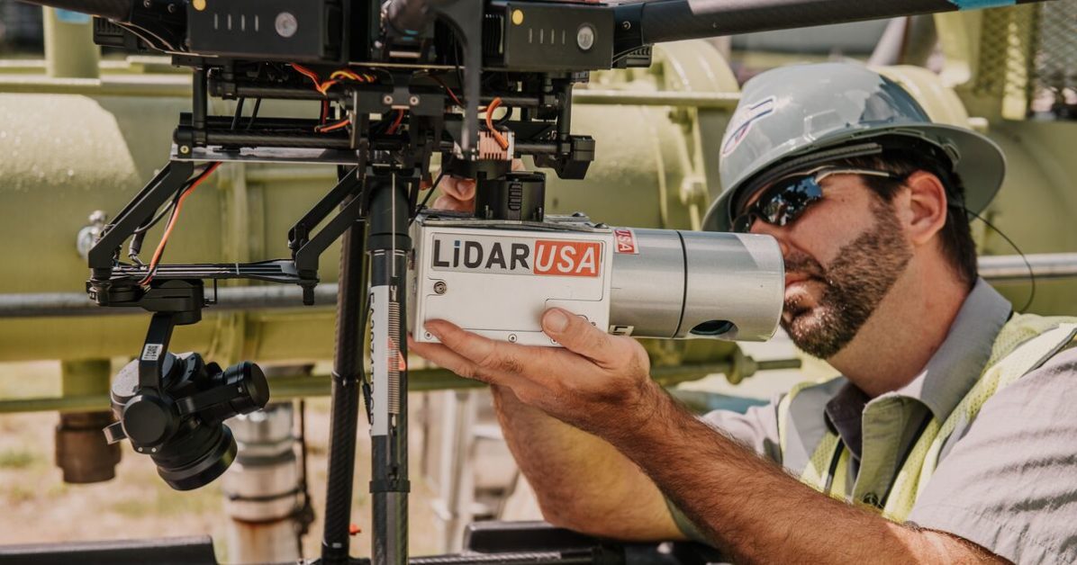
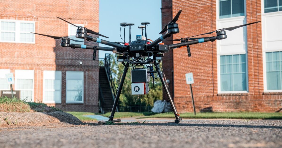
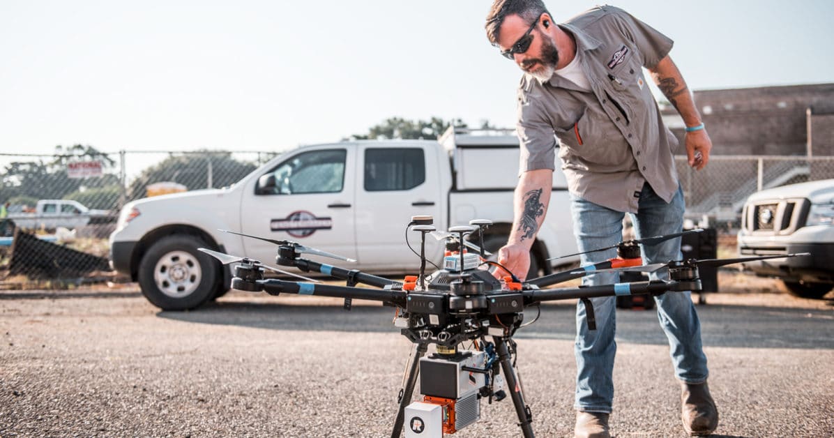
LiDAR camera placed on drone
Cameras and sensors for drones have brought a revolution to the surveying and mapping industry. They’re used for capturing imagery and providing highly accurate results. Gone are the days where you need large aircraft or large LiDAR sensors to map areas. Instead, you can use compact drones equipped with compact…
Read More

The Ultimate Guide to LiDAR Sensors

LiDAR
question_answer0
LiDAR is a remote sensing technology that helps to create three-dimensional models of dynamic scenes for surveying, mapping, autonomous driving cars, and more.   LiDAR uses lasers to measure elevations and distances of moving as well as stationary objects and allows for extremely precise measurement.  These sensors use LiDAR technology to…
Read More

What’s The Difference Between LiDAR and Radar?

LiDAR
question_answer0
LiDAR and radar are the two most powerful remote sensing technologies that help in tracking, detecting, and imaging objects! Both the devices have the same function – to detect the volume and presence of distant objects. Because of this reason, people often get confused between the two and use them…
Read More

What is LiDAR?

LiDAR
question_answer0
LiDAR is a sought-after remote sensing technology for detecting distant objects and measuring distance.  In this technology, the laser beam is emitted, and a sensor is used to collect scattered beams to capture 3D information of a scanned object. LiDAR works much like sonar and radar but uses a laser…
Read More
Menu