How Can Digital Twins Be Used in Systems Engineering?
question_answer0
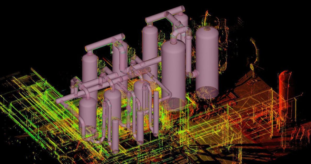
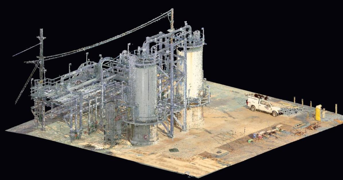
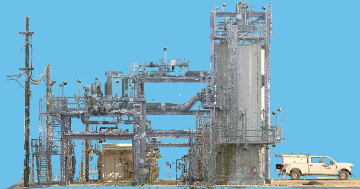
The Fourth Industrial Revolution (or Industry 4.0) is rapidly transforming society, economies, and different industries. A key component of Industry 4.0 is interconnectivity and the increasing integration of virtual and physical environments. This has led to the emergence of new technologies, like the metaverse, advanced simulations, and digital twin technology.…
Read More