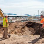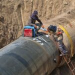
Pipelines are the most cost-effective and environmentally friendly way to transport resources such as gas or oil. Thousands of miles of pipeline traverse the United States, spanning from coast to coast. Almost all Americans rely on these pipelines for their energy needs, making the safe construction and operation of pipelines a priority.
If not completed thoughtfully, however, pipeline construction can be disruptive. Before construction begins, pipeline routes must be carefully chosen to avoid certain sensitive areas while still remaining economically practical.

via Unsplash
Why does the location matter so much? Although it’s a rare occurrence, pipelines do occasionally fail. This can be extremely dangerous, sometimes causing fires and explosions. Aside from constantly maintaining pipelines, companies must strategically choose pipeline locations so that will have the least amount of impact on humans and wildlife in the event of an emergency.
In order to choose the most efficient and ecologically friendly routes, pipeline constructors must have an in-depth knowledge of the land they are building upon. This data is acquired through surveys undertaken by experienced professionals.
Surveys are a necessary step in pipeline construction and should not be overlooked to ensure the pipeline conforms to safety standards. This article will explain the detailed process of completing a pipeline class location survey as well as why they are important in preserving both human and environmental health.
What is a Pipeline Class Location Survey?
Pipeline class location surveys are surveys focusing on the population density of pipeline construction sites. Ideally, pipelines are built in areas that are sparsely populated and environmentally stable, where consequences may be less destructive in the case of failure.
It’s important to note that pipeline class location surveys are required by the federal government when building a new pipeline. When conducting a government-mandated pipeline class location survey, many different factors must be taken into account.
Not only does population density have to be noted, but the pipeline’s proximity to buildings as well as the surrounding land use, must also be recorded and considered. For example, nearby agricultural areas can be a threat to pipelines, as the heavy equipment and ground disturbance associated with farming has the potential to harm the pipeline down the road.
Although most pipeline class location surveys relate to human activity, they can also be used to gain information related to the topography of the land. Those planning a pipeline must understand how the land on the pipeline’s chosen route may change and how those changes may affect the pipeline in the future.
Surveys can help with this by giving a comprehensive view of how the site may flood or erode over time as well as other environmental factors that could potentially harm the line. By taking numerous important factors into account, pipeline class location surveys allow companies to better understand the implications of any given pipeline route.
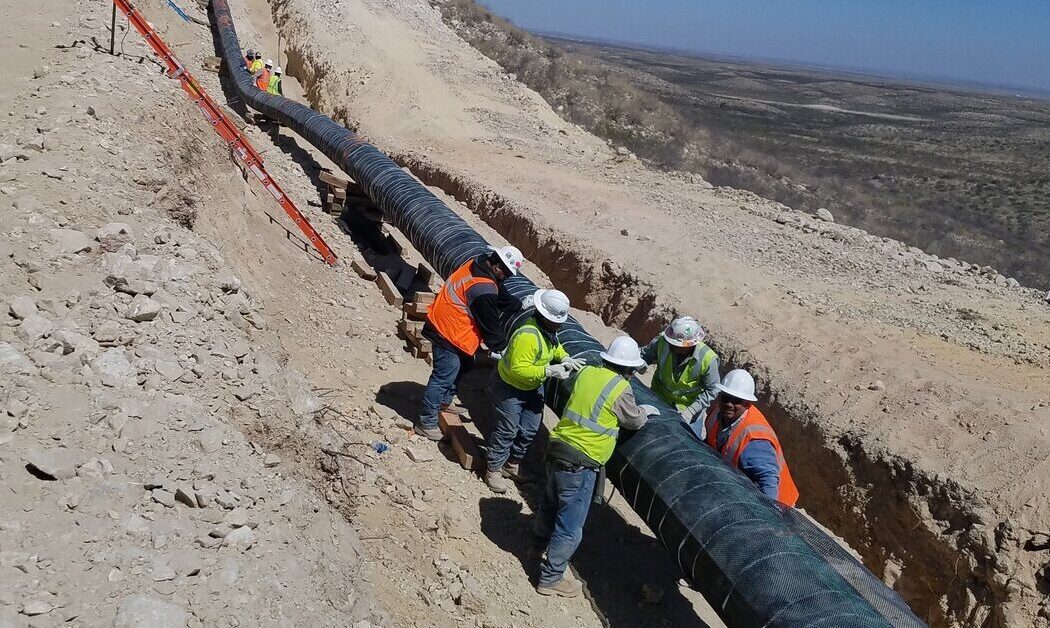
What Does Class Location Refer to in a Pipeline Inspection?
In pipeline inspection and surveying, there are four different classes, all associated with population density and how well-suited (or not so well-suited) a given area may be for pipeline construction. Population density is determined by counting the number of buildings within 660 feet of a pipeline for a mile.
Class 1
Areas that fall into Class 1 are either offshore areas or anywhere with 10 or fewer buildings in close proximity to the pipeline. This class is ideal for pipeline construction, and pipelines built in these areas are able to carry the highest permitted pressure of oil or gas. High interior pressure can be more dangerous, as these pipes are more susceptible to failure.
Class 2
This class covers any area that may have more than 10 buildings but fewer than 46 buildings within 660 feet of the pipeline. Although these areas are still relatively rural, federal laws and regulations require that these pipelines are reinforced, and they are unable to carry as high of an oil flow as those pipelines in Class 1.
Class 3
Any location that has 46 or more buildings within the specified range is a Class 3 location. Additionally, any area where a pipeline may lay within 100 yards of a frequently occupied public space is also considered to be a Class 3 location.
Class 4
This is the only class that takes into account the possible occupation of people inside nearby buildings. Pipelines built in these locations are closely regulated and are highly reinforced, carrying the lowest pressure among the classes. Therefore, they cost more money to build and maintain. Class 4 areas are generally considered the riskiest locations to plant a pipeline.
via Unsplash
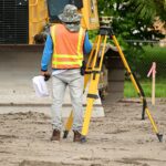
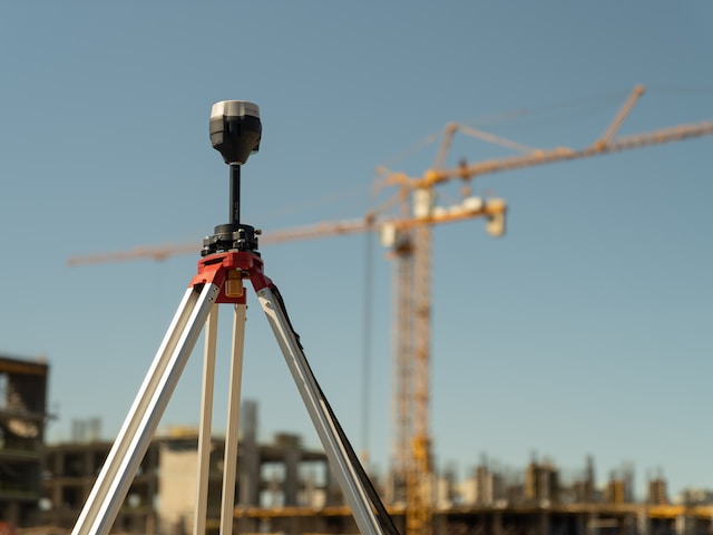
What is the Process of a Pipeline Class Location Survey?
Aside from simply counting dwellings in the area, pipeline class location surveys require analyzing the geography of a region to determine if it is conducive to building. Surveyors can use specialized technology, such as software to process and analyze data as well as geographic information systems (GIS) to integrate this data with previous maps.
First, a surveyor will need to determine which properties are even open to surveying. This information sometimes needs to be attained from local government bodies.
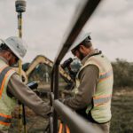
Once it is verified that a survey is possible on the land, surveyors begin their fieldwork. During this step, the surveyor must spend time on the property to collect the necessary data the client needs. The length of this process depends on many different factors, such as terrain, size of the area, and the amount of data that needs to be collected as well as how detailed it must be.
Finally, the surveyor must compile the data so that it can be understood. This process can take a while to complete, even with a team of surveyors. This is the stage when risk assessments and class locations are determined.
How Long Does a Pipeline Class Location Survey Generally Take?
An in-depth pipeline class location survey can take anywhere from a few weeks to a few months to complete. Being such an important process, it is critical those conducting it put in the time and effort to guarantee the data collected is correct.
The U.S. federal government requires that every pipeline project undergo a class location survey. Therefore, it is of the utmost importance that companies choose the best people for the job. At Fenstermaker, we can provide outstanding class location surveys with our responsive and experienced surveying staff.
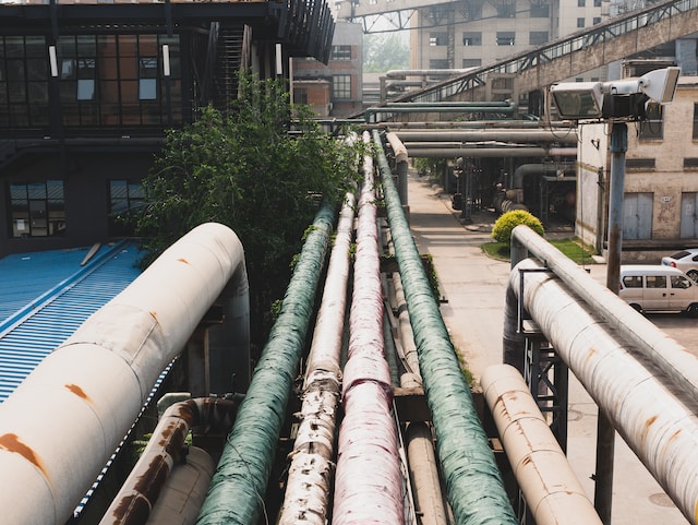
What Are the Different Classifications of Pipelines?
There are many different classification criteria for pipelines, including pressure and regulatory classifications. Certain pipelines are best suited to certain class locations as well as certain roles. These classifications are not exclusionary, and most pipelines have many overlapping classifications.
The most common regulatory classes of pipelines are gathering, transportation, and distribution pipelines. All three of these types have different pressures, lengths, and diameters associated with them.
A gathering pipeline is extremely short (usually less than 1,000 feet in length) with the primary goal of transporting oil or gas to the initial treatment facility. They often have a small diameter to save on materials.
Transportation pipelines are usually the largest in both diameter and pressure. These are the types of pipes that can run between countries and even continents. These types of pipelines are especially regulated, as leaks can be difficult to find on a line that stretches for miles.
Even the smallest leak can have disastrous consequences, so it is critical that these lines are maintained consistently and with high-quality techniques.
Distribution pipelines tend to be of medium length with relatively low pressure. These pipes deliver resources to their final destination, whether it be industrial, commercial, or residential. Due to the nature of this line, they often run through Class 3 and Class 4 areas.
via Unsplash
FAQs
Why are pipeline class locations important when constructing a new pipeline?
Without pipeline class location surveys, pipeline construction is not feasible. Firstly, these surveys are a necessary step per the U.S. federal government to ensure pipeline safety. Without these surveys, it would be much more difficult to safely construct and operate these pipelines.
Pipeline class location surveys are extremely successful. They can assess potential risks as illustrated above, such as population density and environmental sensitivity, to lessen the harmful consequences if a pipe was to burst.
Pipeline surveys can also discover potential weak points in a pipeline or certain areas that may require more frequent inspection. By knowing where a failure is most likely to occur, pipeline companies can respond more quickly in the case of an emergency.
How do pipeline class location surveys impact pipeline construction?
Class locations are critical in understanding the pipeline types necessary for a given route. The first step of pipeline construction is understanding the environment you are building in. Without this fundamental knowledge, it is impossible to know which regulatory and pressure classifications are best for the project.
Pipeline class location surveys can also help to prevent pipeline construction in environmentally sensitive areas to avoid unnecessary ecological damage. Sometimes companies may need to alter their planned routes around certain environmental areas, and surveys may be important in finding alternate routes.
Final Thoughts
Surveying is a critical step in the construction of oil pipelines to ensure safety and efficiency. With oil and gas being such an important commodity for Americans everywhere, it is critical that these pipelines are built to last without failure. Without surveys, it is impossible to guarantee this.
Pipeline class location surveys can be a long process, requiring years of experience and training. If performed incorrectly, there can be drastic effects, possibly risking human injury or death and environmental destruction. Therefore, it is essential that oil and gas companies pick the best surveyors for the job.
At Fenstermaker, we have a history of over 70 years of reliable surveying, engineering, and environmental consulting. We pride ourselves on our relationships with our clients, with our client’s success as our primary concern. Our use of innovative technology combined with dependable service guarantees accurate surveys for our clients.